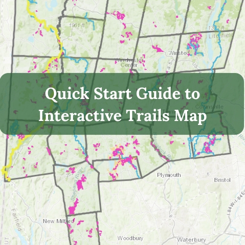
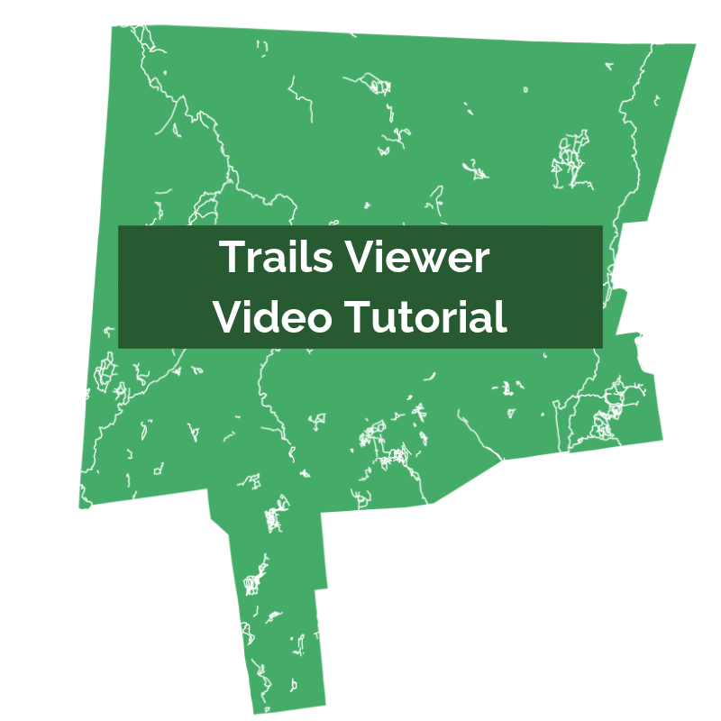
Northwest Hills Regional Trails Viewer
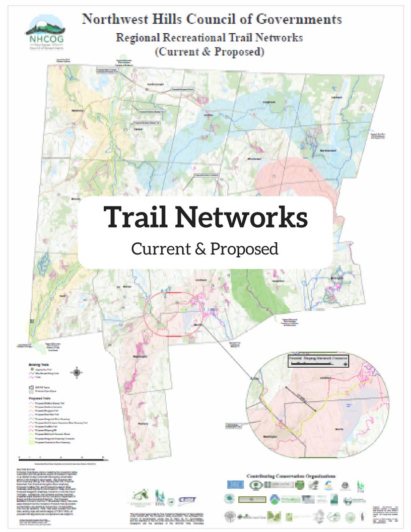
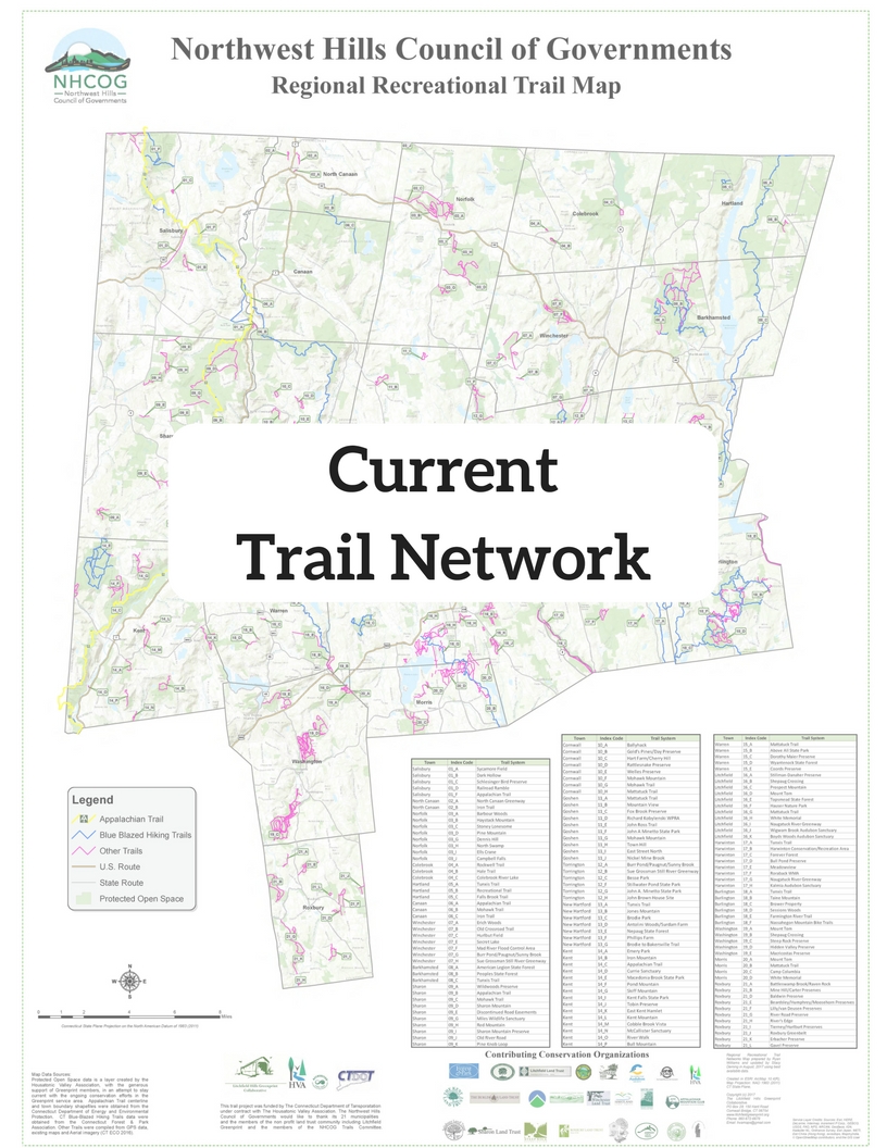
Whether it’s your first time visiting us or you’re a life long resident, we invite you to experience the nearly 540 miles of trails that cross the Litchfield Hills. That includes 47 miles of the Appalachian Trail and 163 miles of Blue-blazed trails from the Connecticut Forest & Park Association. In fact, most of the Appalachian Trail in Connecticut is in the “Northwest Corner”.
Using our interactive regional hiking trails map, you can find trails based on your location, distance, difficulty, allowed use (e.g. horses, mountain biking, snow mobile, cross-country skiing, etc.). You can also find some featured hikes like “Family Friendly”, “Destination” hike, or “Loop” trails. You can easily find designated parking areas for the trail heads on the map too. Simply click on the Parking icon, then “directions”, which will take you to the Google maps location of the parking area. You can enter your current address and find the quickest directions to your chosen trail!
If you simply want to find “hiking trails near me”, you can use the address search bar or the ‘my location’ icon in the top left of the interactive map.
For Destination trails, consider:
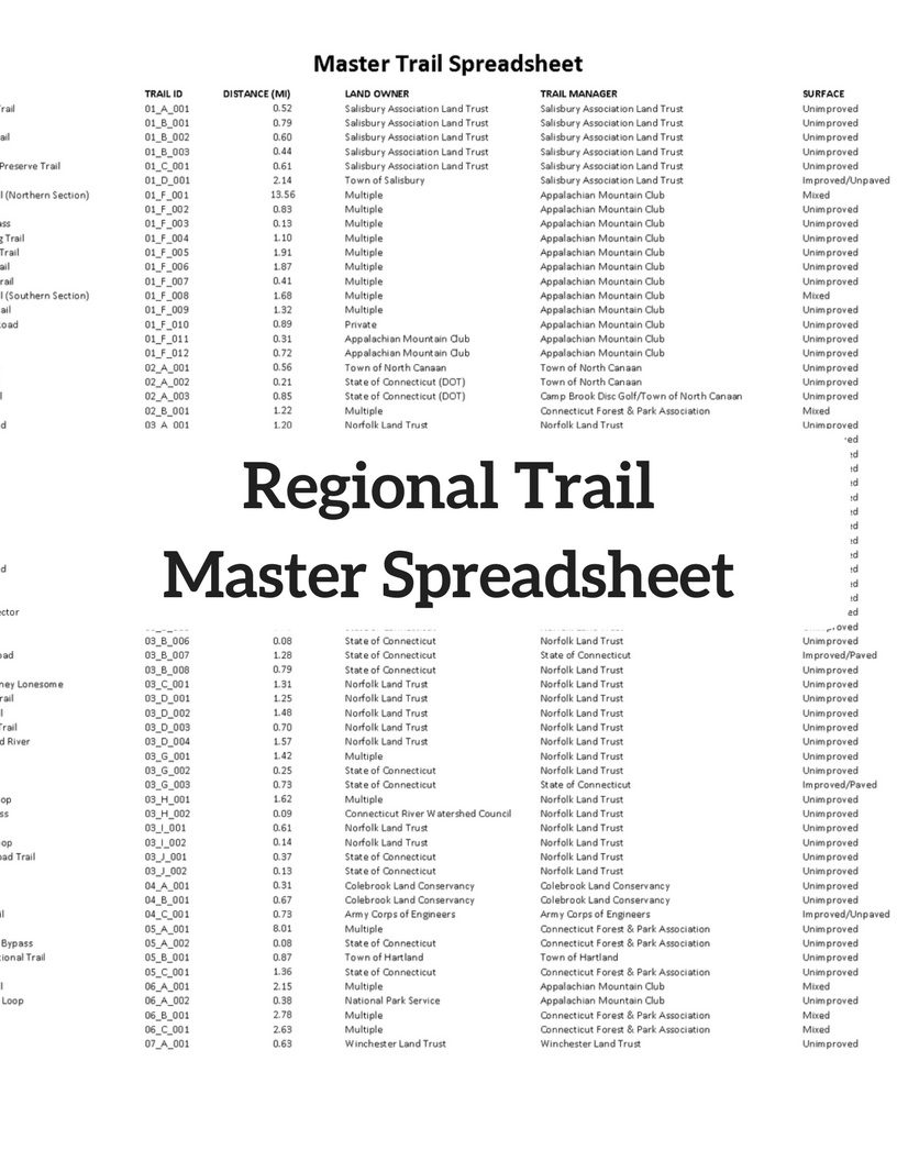
Although we’ve included nearly all of the trails in the region, there are many that were not included due to safety reasons or access concerns.
If you have any questions about the trails map or trails project or have suggestions for featured hikes, please feel free to call us at 860-491-9884.
Northwest Hills Regional Trails Connectivity Project
Between 2017 and 2018, the Northwest Hills Council of Governments worked with the Housatonic Valley Association to develop a Regional Trails Connectivity report and Interactive Regional Trails Map. The Regional Trails Committee provided vital feedback throughout the process. We hope these products help all stakeholders to protect existing recreational resources as well as enhance future opportunities.